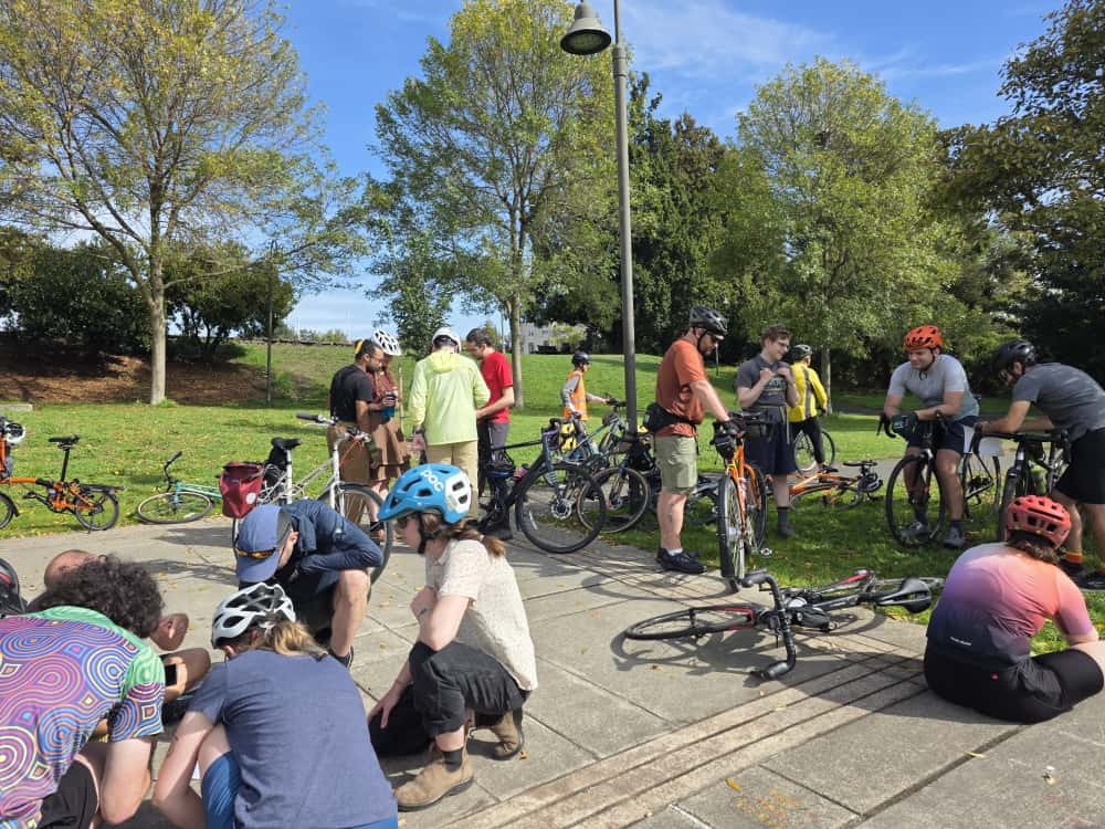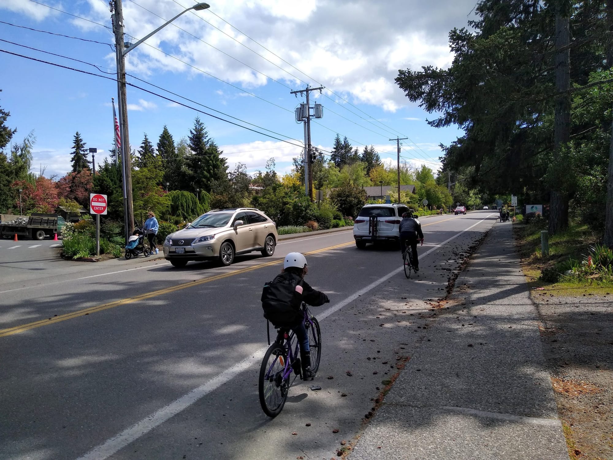
Bainbridge Island, a 65-square-mile city of about 25,000 residents boasting hourly ferry service to and from Seattle, is an incredibly popular destination for tourists visiting the Puget Sound region. But it can be difficult to navigate the island without a car. The sidewalk network on the island is incomplete, and it only boasts 10 miles of bike facilities compared to its 210 miles of roadways. Only one bike corridor, the incomplete Sound to Olympics trail, has been rated an all-ages-and-abilities facility.
In 2018, the City of Bainbridge Island put forward a seven-year, $15 million levy that would have funded improved bicycle and pedestrian infrastructure, but that measure was rejected by voters by around nine points. A primary criticism of the measure was that the City wasn’t committing to funding any specific projects, just several broad categories of projects. Following the defeat, the City recalibrated and spent the next few years coming up with a new plan to increase multimodal infrastructure on the island that it hopes will have more community buy-in.
The result is Bainbridge’s Sustainable Transportation Plan, which the City Council voted to adopt this past March. At the heart of the plan is a list of projects that would connect the commercial centers around the island with high-quality walking and biking infrastructure, “with the goal of being able to send your ten-year-old on a bicycle to ride between these centers and have them feel safe the whole way,” as Chris Wierzbicki, Bainbridge Island’s public works director told the council earlier this year.
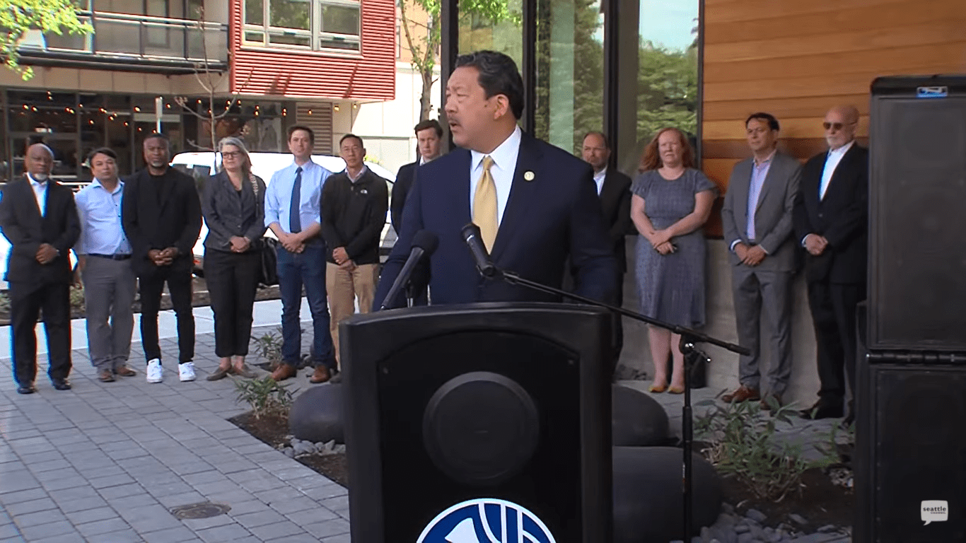
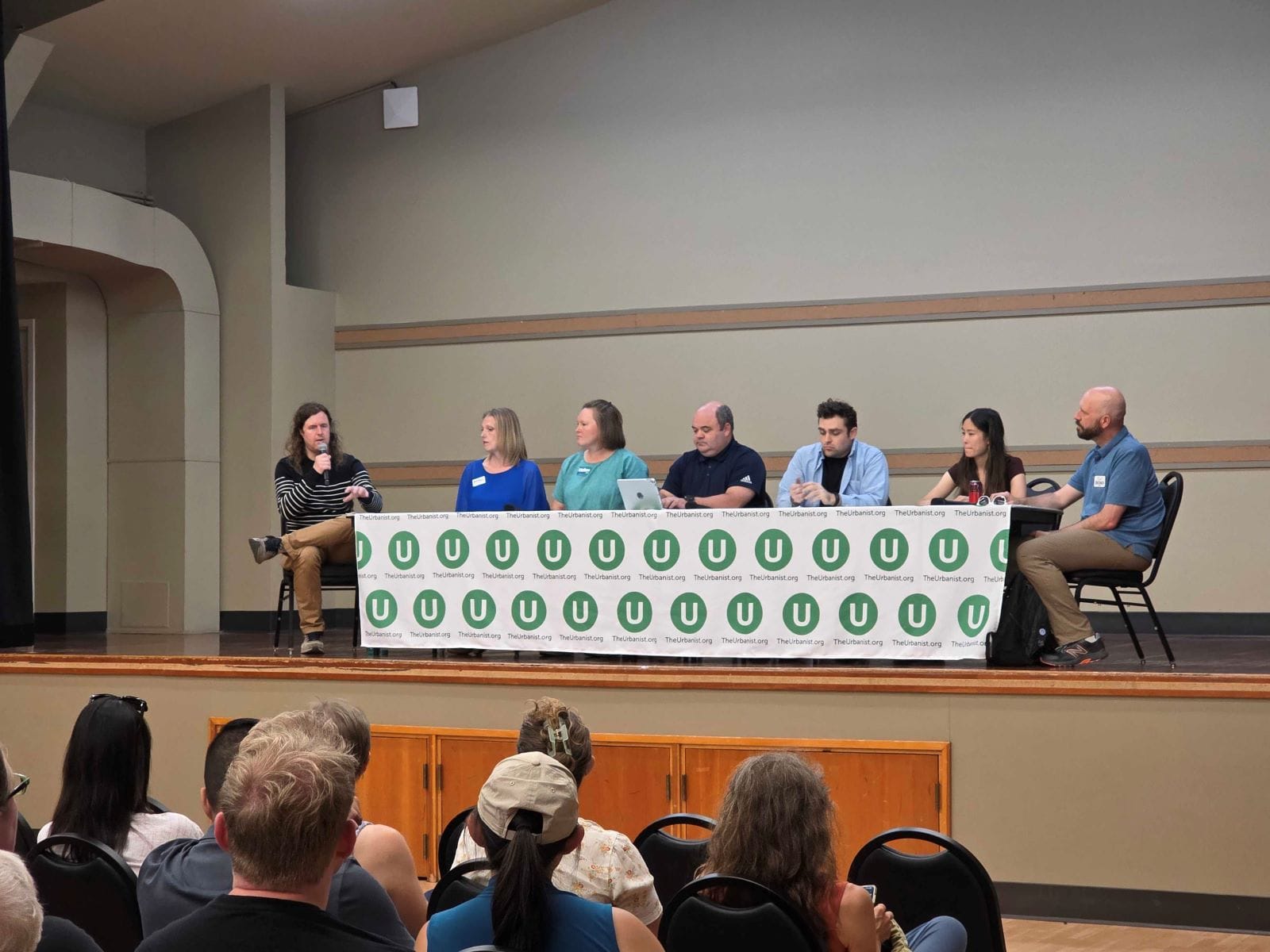
One of the largest proponents of added bike and pedestrian infrastructure on the Bainbridge City Council is Councilmember Leslie Schneider, who was appointed to fill a vacant seat in 2018 and reelected in 2019. Schneider, an enthusiastic supporter of the Sustainable Transportation Plan, has articulated a clear link between shifting people to sustainable modes of transportation and meeting the city’s goals around emissions reductions.
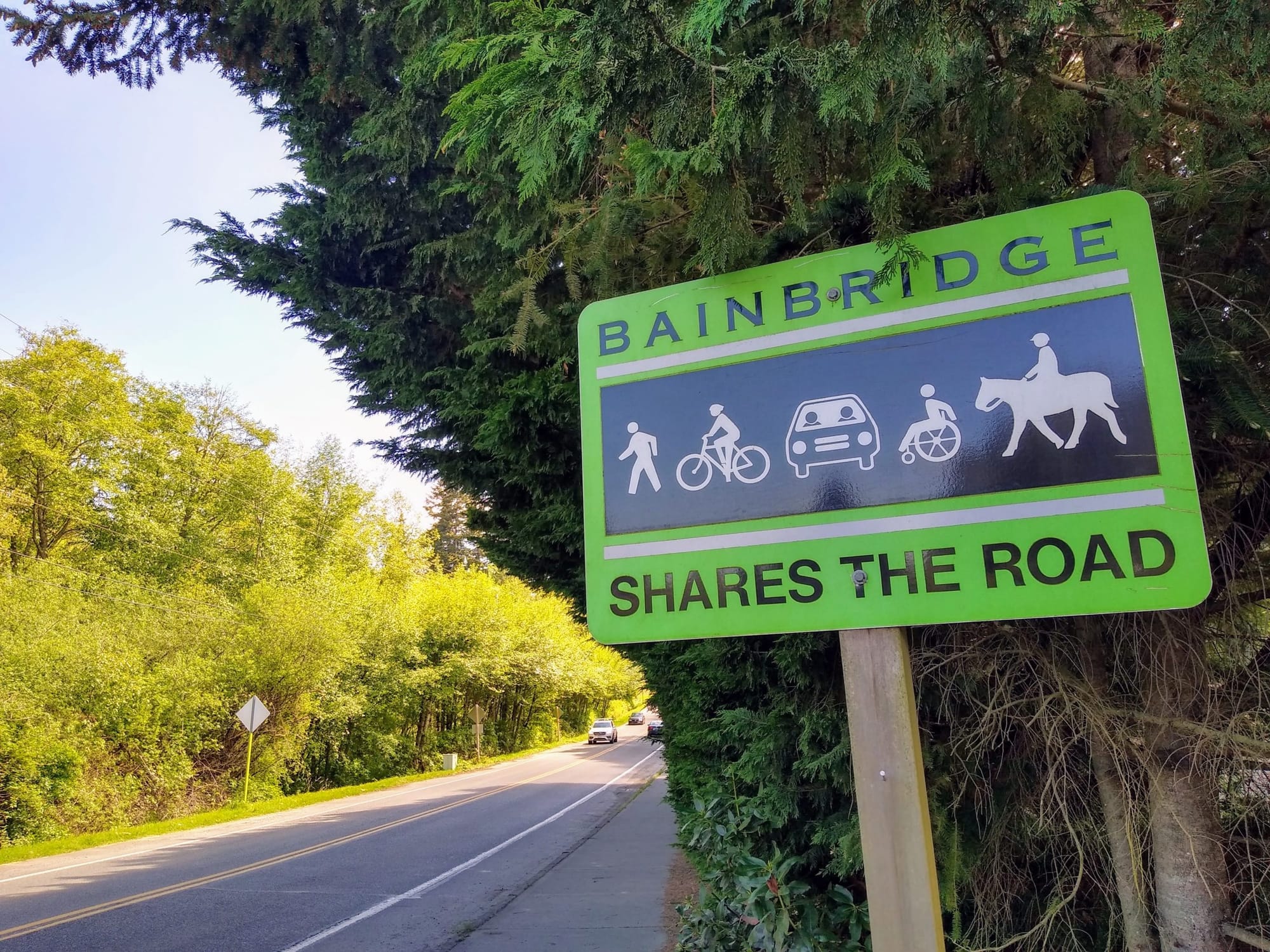
“The big win here is, I really feel that the community that has been engaged on this has really circled the wagons on all-ages, all-abilities facilities… and I really feel like there’s a lot of consensus around the fact that we do need them. The counter to that is we recognize that wider roads with a white stripe is not enough protection for trying to get new cyclists interested and engaged in shifting modes,” Schneider said at a discussion of the Sustainable Transportation Plan earlier this year.
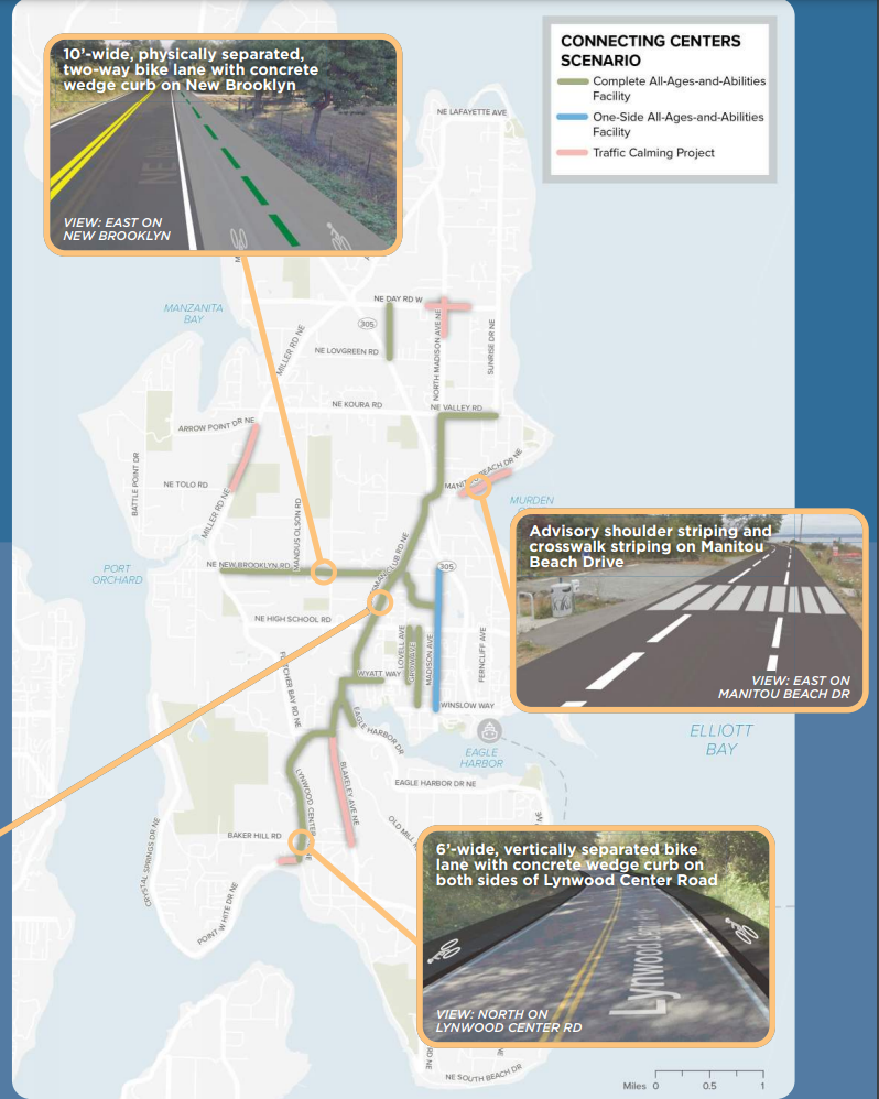
According to the City, the “Connecting Centers” proposal would cost $31 million over a six-year period. Some of that money is already on hand, and the council is looking at additional revenue sources to get all of the projects funded. Last month, they voted to make a $30 vehicle license fee that was set to expire permanent, and several councilmembers have expressed a desire to increase the amount to $40 or even $50 and bond against it, providing up-front funding to get the network built on time.
The Connecting Centers network
The Connecting Centers network would combine 10 individual projects to create a “spine of high-quality infrastructure” to the main commercial districts on Bainbridge Island. People on bikes would be able to access Lynwood Center, with its theater and grocery store, to the south and the Rolling Bay, where the Bainbridge Island municipal court is located, to the north of Winslow. Most of these bike corridors would be created by building a raised bike lane alongside the existing roadway or a separate two-way bike lane alongside the road.
Another key component of Bainbridge’s planned bike network, and the regional network, is the Sound to Olympics trail. Envisioned as a complete trail connecting the Washington State Ferries terminal in Winslow and the Agate Pass bridge to the rest of Kistap County following SR 305. Right now a short segment of the trail exists on the Winslow end, but the rest remains to be built. Bainbridge is planning the next segments of the trail to be competitive for state and federal grant dollars.
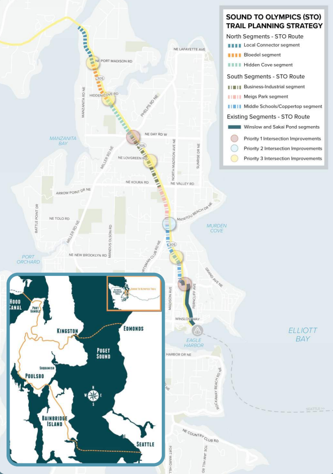
This week, Governor Jay Inslee biked the current stretch of the Sound to Olympics Trail as the Leafline Trails Coalition launched their vision map, which seeks to plan to create 400 miles of trails throughout the four-county central Puget Sound to add onto the existing 500 miles of trails, creating a full 900 mile trail network. Opening up access to the rest of the county, the trail looks poised to be prioritized by elected officials around the region as a connection that should be urgently completed.