Today we get to talk about fourteen incredible ready-to-visit street ends beginning in West Seattle and ending in South Park, plus a lovely waterfront park owned by the Port of Seattle. In previous posts, we have looked at street ends around West Seattle, from Ballard to Fremont, then continuing from Fremont to Portage Bay.
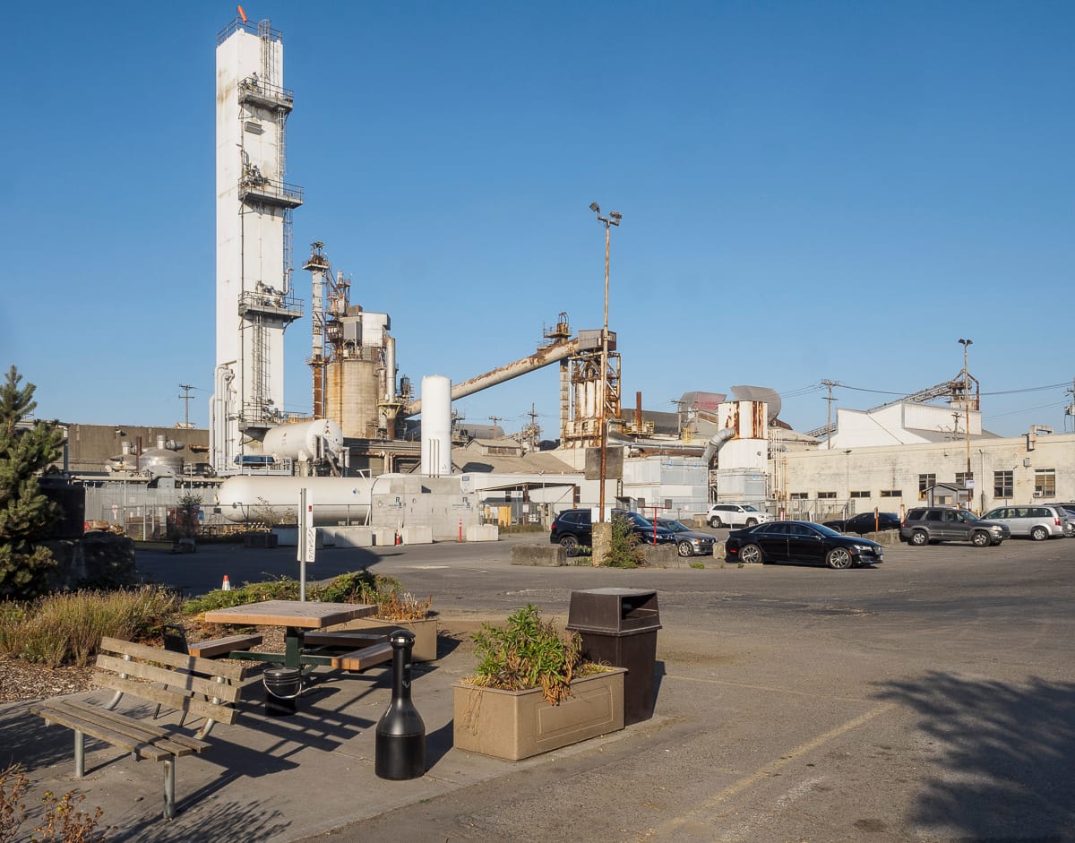
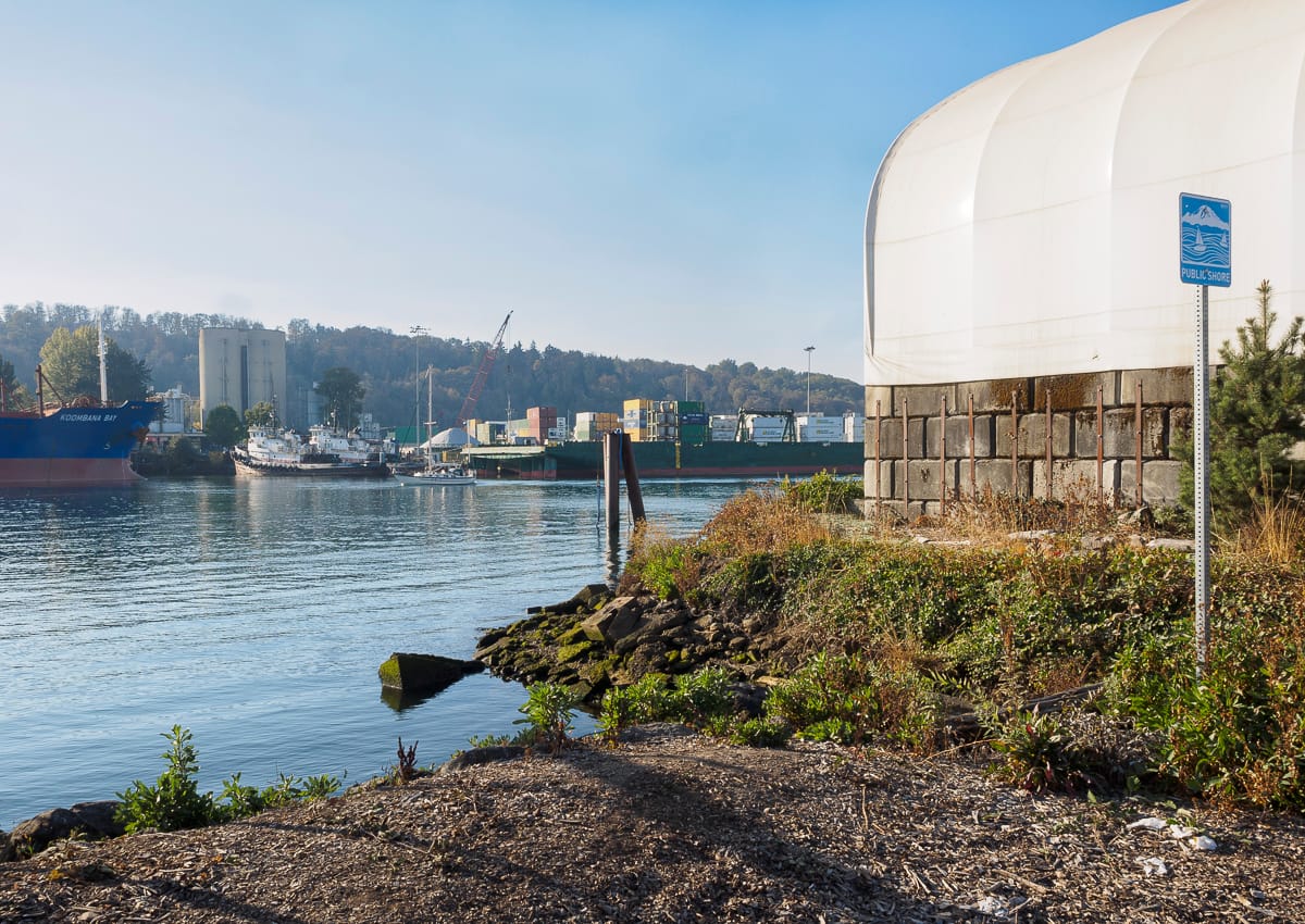
Most of the street ends featured here are adjacent to maritime and industrial uses and include views of shipping, dredging, and land-based industries such as cement manufacturing. Chances to engage the Duwamish River via restored shorelines and habitat are also possible.
For those new to this series, a little background on Seattle’s Street Ends. Resulting from Seattle being bounded and divided by numerous fresh and salt bodies of water, the city has what are colloquially known as Street Ends: those streets that end when they encounter a water body and are unable to continue. There are hundreds of such occurrences – almost as many as there are east-west and north-south streets. A number of them, 149, are part of a Seattle Department of Transportation (SDOT) program called Shoreline Street Ends. The program’s goals are:
- Help create great neighborhoods
- Improve public access to and enjoyment of Seattle’s shoreline
- Enhance shoreline habitat
- Encourage community stewardship of shoreline Street Ends
- Support maritime industry
- Responsibly manage private permits and deter non-permitted encroachments
A little over half of the Street Ends are defined by SDOT as “worth a visit,” while the remainder are either “not yet ready for visitors” or have “no public access.” Street Ends are most heavily concentrated along the Ship Canal and Lake Washington but occur along each waterfront environment. Working with the city and neighborhoods to secure funding, pass legislation, and organize work parties, the non-profit and all-volunteer Friends of Street Ends help ensure Seattle’s accessible Street Ends grow in number and those already serving visitors continue to thrive.
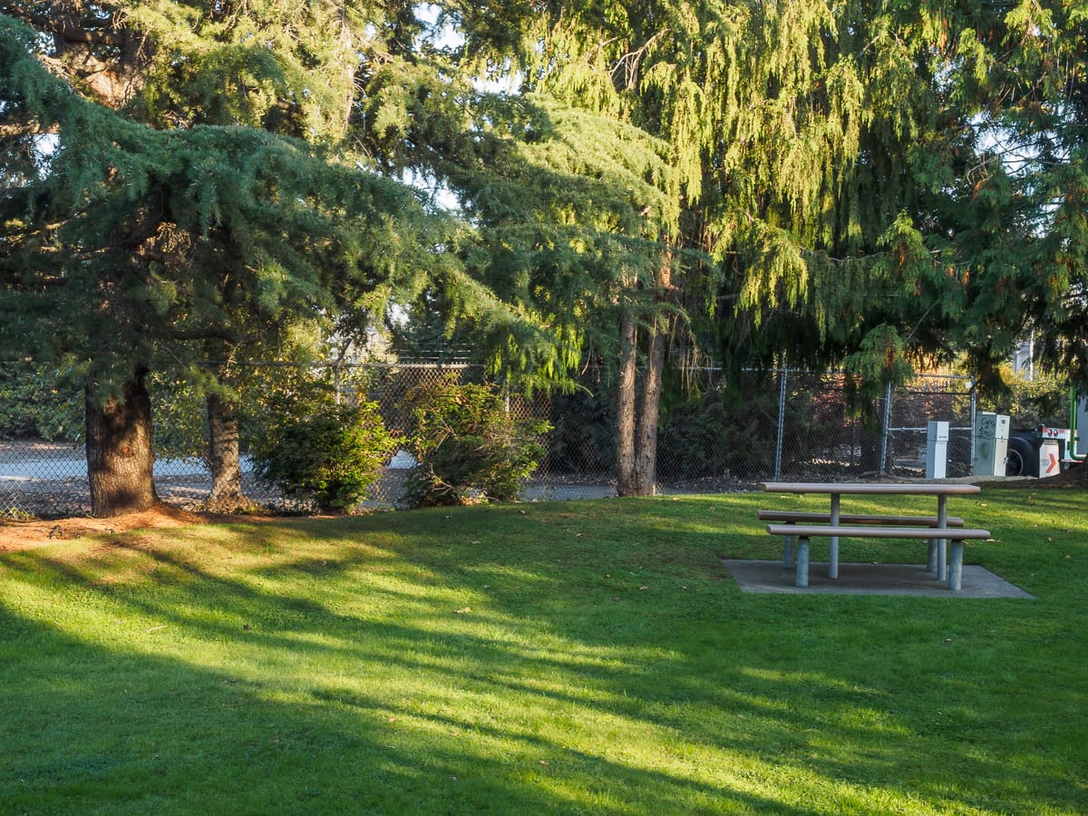
Street Ends vary in character from sandy beaches to docks wedged amongst shipyards and industrial uses. They are spacious and they are compact; some are easy to find, others require a bit of diligence. They support habitat for native species of flora and fauna as well as convenient places to launch a kayak, sailboat, or motorboat. Oftentimes, they are adjacent to waterfront parks, expanding upon those assets. They are as varied as Seattle’s topography, and you can visit them any time.
Harbor Avenue: Street Ends #8 and #9
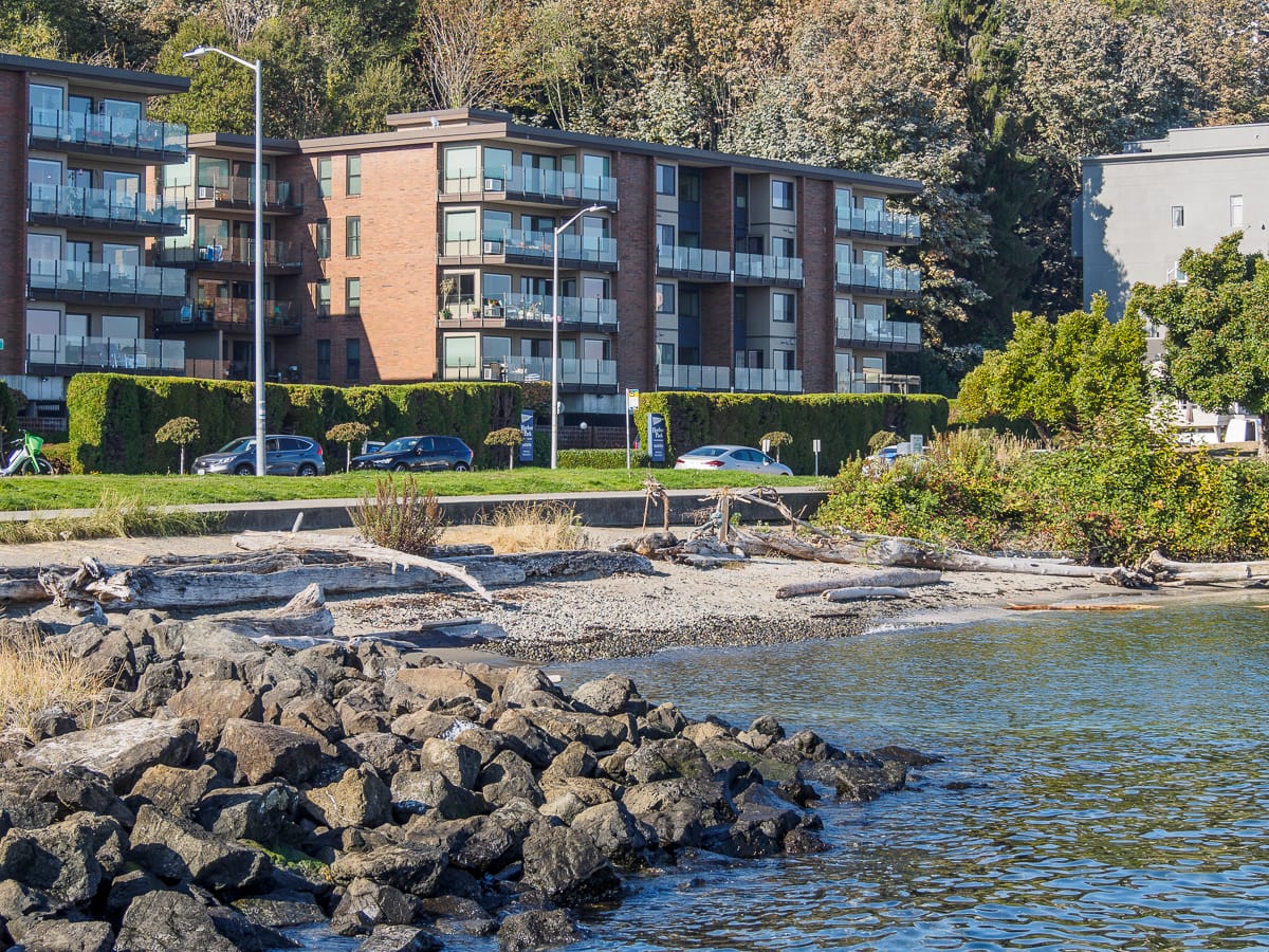
Blended into West Seattle’s expansive public shoreline, Southwest Atlantic Place (#8) and Fairmont Avenue (#9) are barely discernible, yet the keen street end observer will take note of a modest bench at Atlantic Place and a robust seawall and rocky beach at Fairmont Avenue.
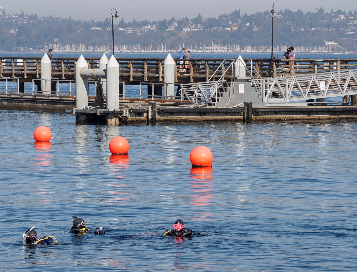
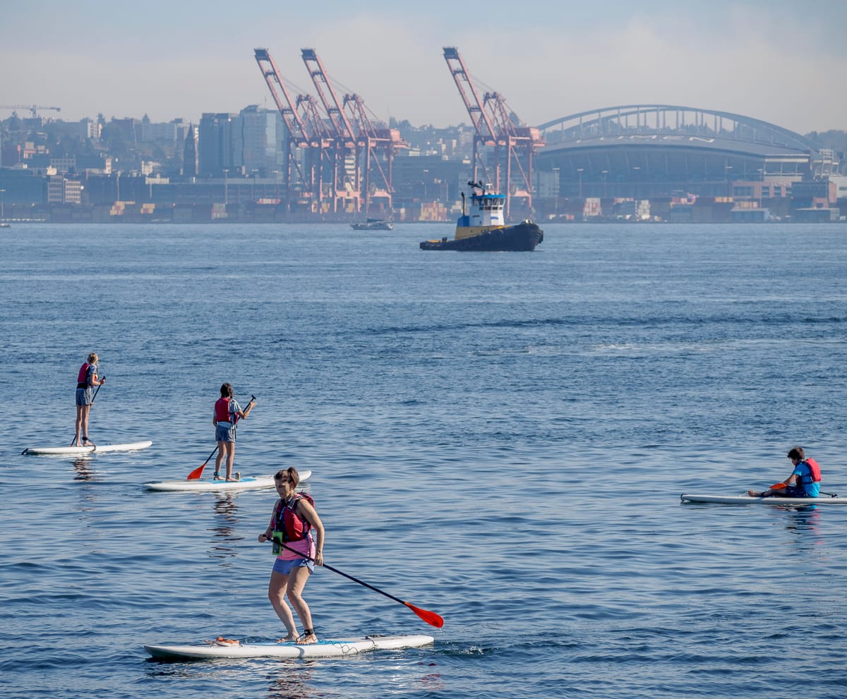
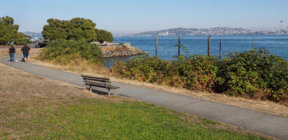
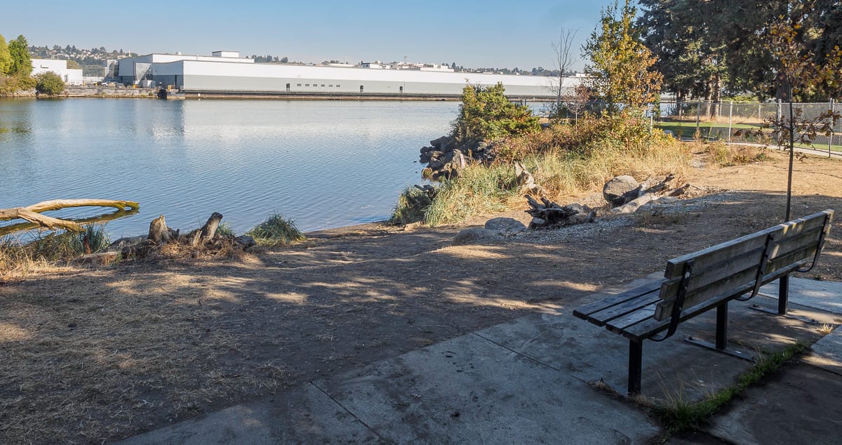
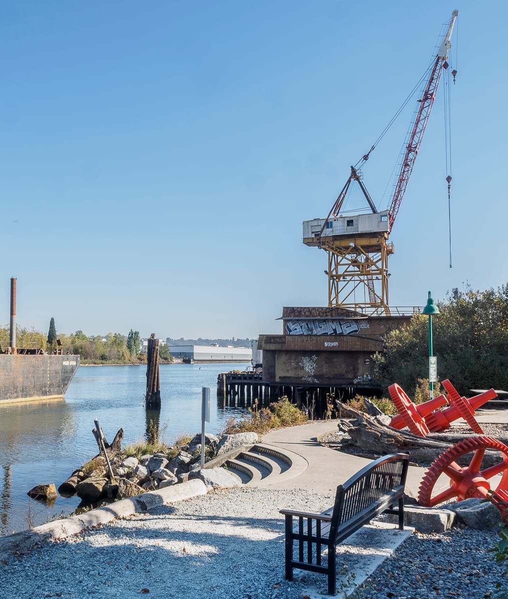
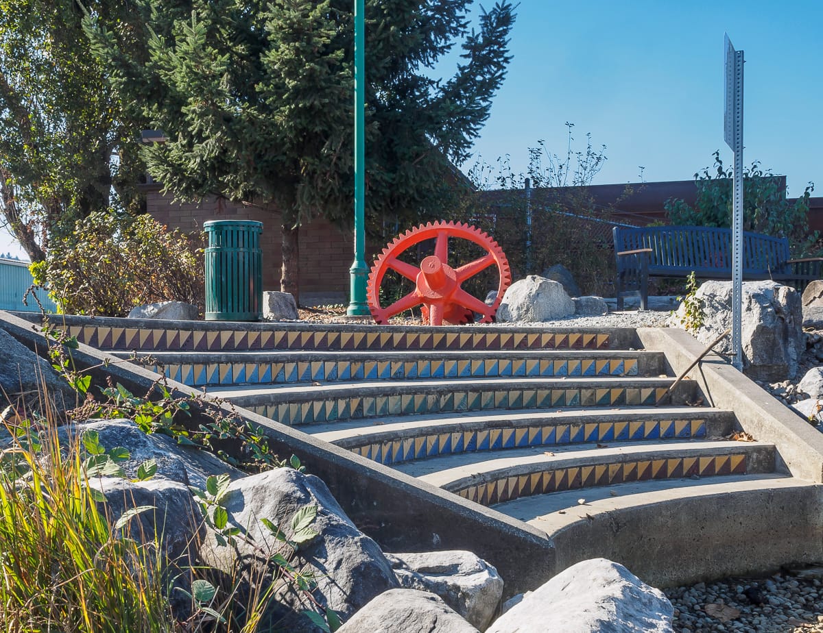
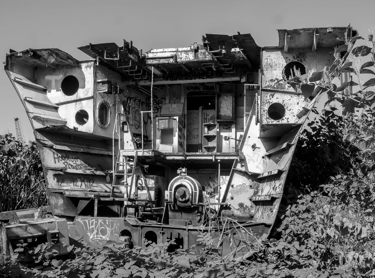
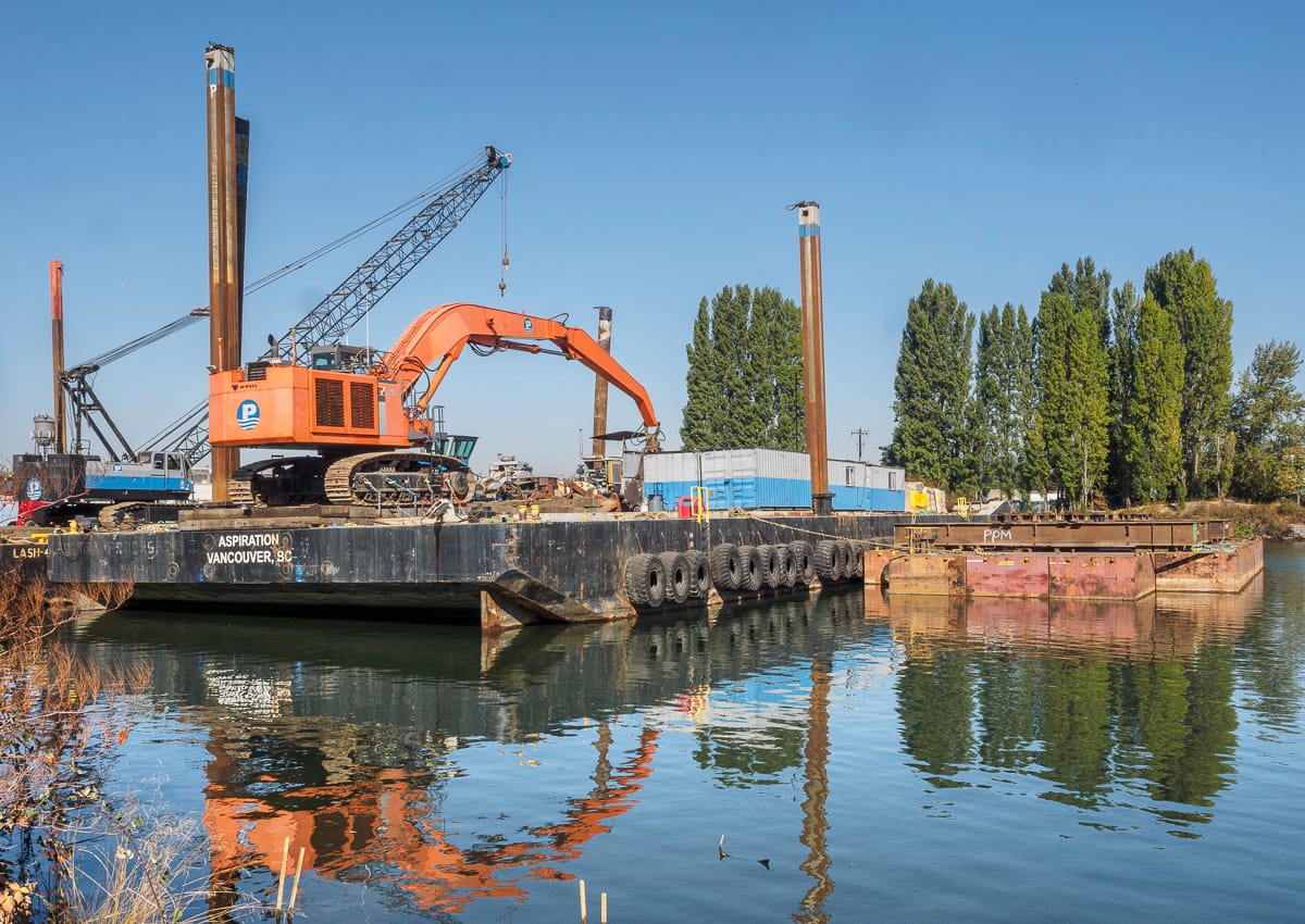
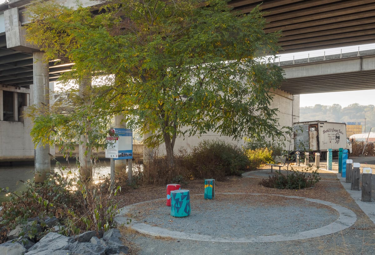
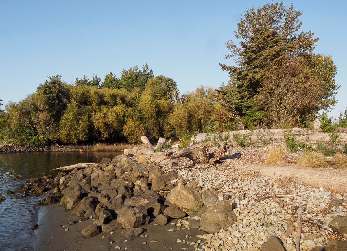
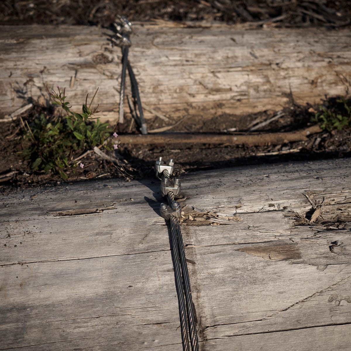
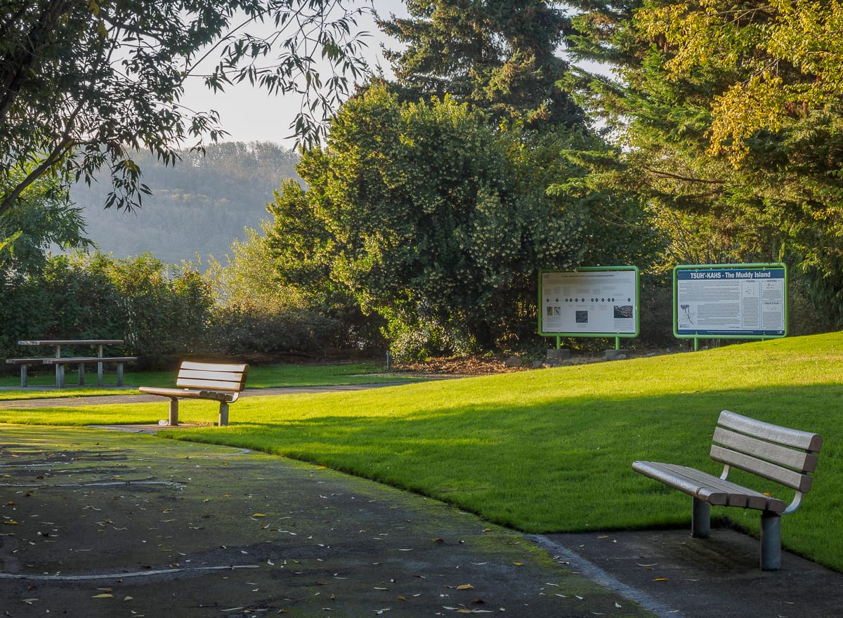
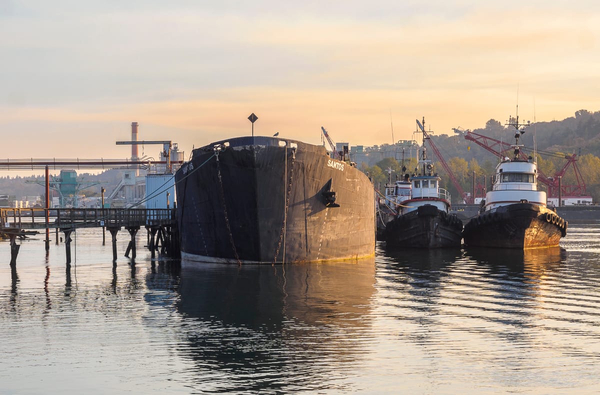
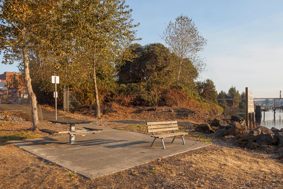
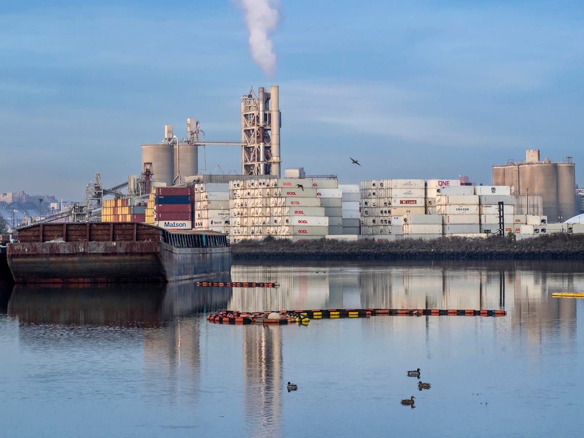
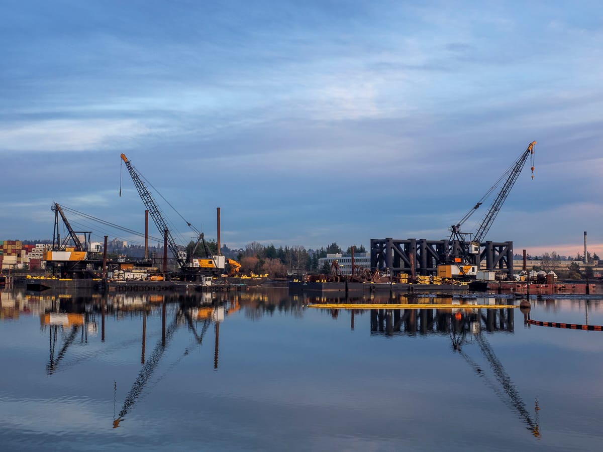
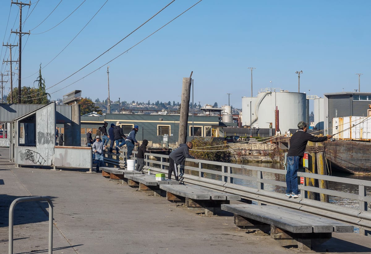
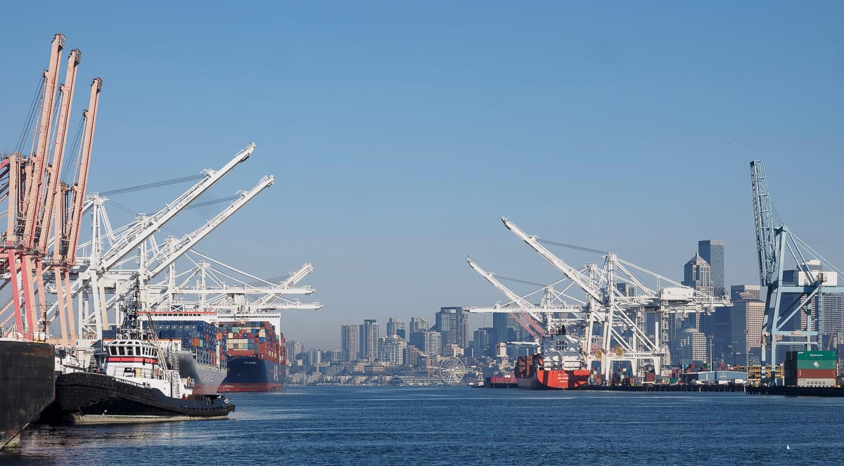
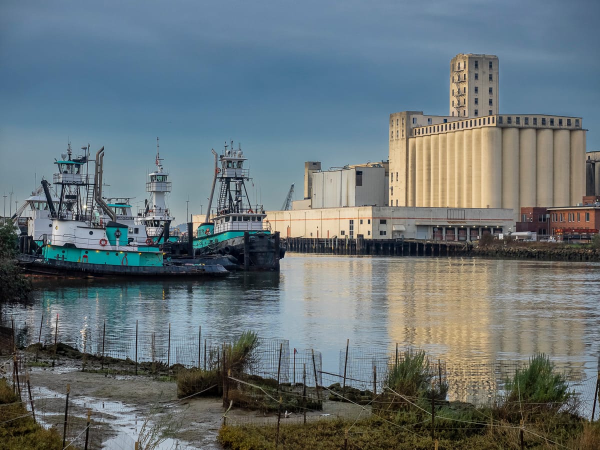
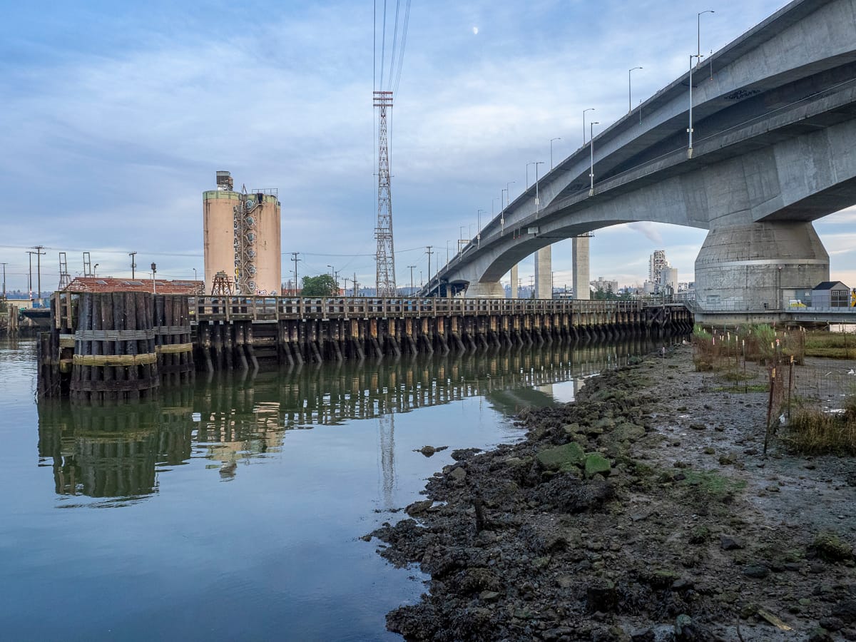
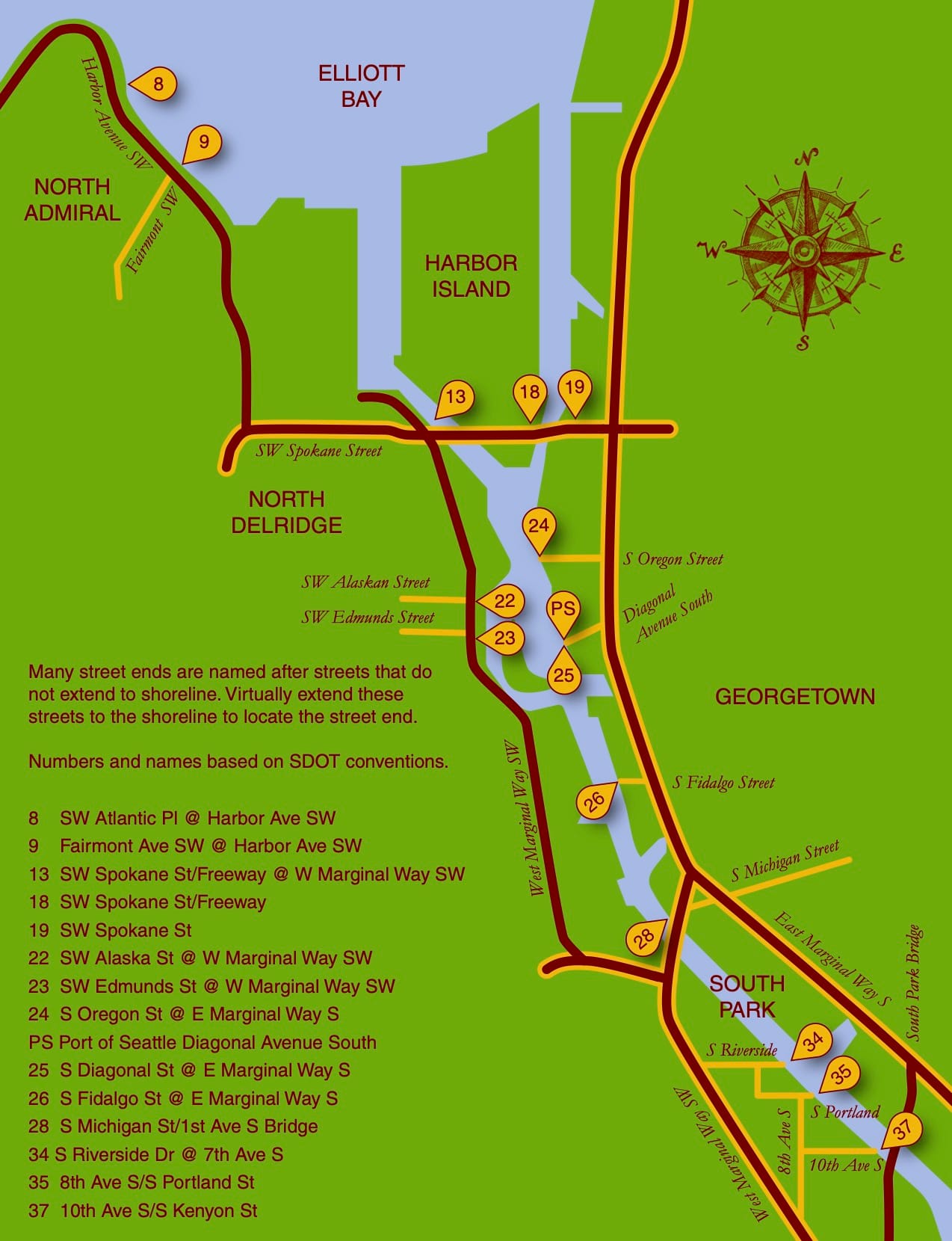
Spokane Street: Street Ends #13, #18, and #19Solitude is on hand at Southwest Spokane Street/Freeway (#13). Tucked beneath the West Seattle Bridge, the street end offers some magnificent views of our working waterfront if one looks to the north.Another pair of street ends, but of a different nature. This pair run parallel to the street and are not ends at all. Regardless, Southwest Spokane Street/Freeway (#18) and Southwest Spokane Street (#19) provide a popular fishing spot and unsurpassed views of Seattle’s main concentration of container terminals.West Marginal Way: Street Ends #22 and #23As it approaches Elliott Bay, the Duwamish River was straightened and dredged in order to accommodate the industrial uses that line its shore, and it becomes the Duwamish Waterway. Part of this legacy includes remediation of the decades-long dumping and leaching of toxic waste into the water; the dredges are an evocative reminder of past and current clean-up efforts.Southwest Alaska Street (#22) and SW Edmunds Street (#23) are both nestled within a lush riparian corridor. The northernly of the pair, #22, leads to a network of pathways that trace the waters edge. Southwest Edmunds Street gives access to the he?apus [this is the correct spelling] Village Park & Shoreline Habitat, a Port of Seattle park, highlighting an important cultural site along the shore of one of the last remaining bends of the Duwamish River before it was channelized.East Marginal Way: Street Ends #24 and #26, Street End #25 and Diagonal AvenuePublic access to the Duwamish is limited, and often has to squeeze itself between the dominant maritime and manufacturing uses. Although modest – a concrete slab and bench as well as controlling for invasive plants that limit access and views – South Oregon Street (#24) provides a significant break in the wall of its less accessible neighbors.Unlike many of its fellows, South Fidalgo Street (#26) offers distant views both of the aquatic and terrestrial environments where landward views are frequently blocked by fences and thick plantings that discourage the curious visitor’s attentions.When funding is available, street end shorelines like Diagonal Avenue South (#25) provide opportunities for intensive efforts in riparian restoration, including shoreline stabilization. The street end preserves access to the Diagonal Avenue South Public Shoreline Access. While not part of the SDOT program and not a street end, it is none-the-less a splendid park that is impeccably manicured and welcoming.South Park: Street Ends #28, #34, #35, and #37Furnishings, recreational access, shoreline and landscape improvements – all are priorities of Friends of Street Ends and all can be found at South Michigan Street/1st Avenue Bridge (#28). While not bucolic as the shorelines along Lake Washington or Puget Sound, the amenities provided at #28 more than address the challenges of its being situated below a busy bridge.Seattle Street End #34, Riverside Drive, provides a small viewing area tucked among restored native plantings. Nearby, one of the more developed Duwamish shorelines is found at 8th Avenue S/S Portland Street (#35). This street end includes water access, terraced and bench seating, and art. It is also linked to Street End #34 via a gravel path. Which brings us to Seattle’s farthest south street end, #37 at 10th Avenue South/South Kenyon Street. It has open, unobstructed views, perfect for watching ships pass.